Loddington Way, Mawsley Village
Introduction
The photograph on this page of Loddington Way, Mawsley Village by Malc McDonald as part of the Geograph project.
The Geograph project started in 2005 with the aim of publishing, organising and preserving representative images for every square kilometre of Great Britain, Ireland and the Isle of Man.

There are currently over 7.5m images from over 14,400 individuals and you can help contribute to the project by visiting https://www.geograph.org.uk
Loddington Way, Mawsley Village
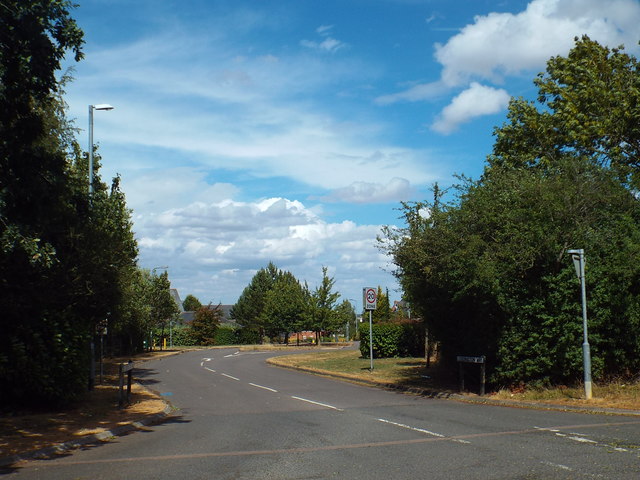
Image: © Malc McDonald Taken: 28 Jul 2018
Loddington Way is one of two roads leading into Mawsley Village. The village is newly-built, construction of the first houses started in 2001.
Images are licensed for reuse under creativecommons.org/licenses/by-sa/2.0
Image Location
Latitude
52.372211
Longitude
-0.822086