Farmhouse at Steward Shield Meadow
Introduction
The photograph on this page of Farmhouse at Steward Shield Meadow by Trevor Littlewood as part of the Geograph project.
The Geograph project started in 2005 with the aim of publishing, organising and preserving representative images for every square kilometre of Great Britain, Ireland and the Isle of Man.

There are currently over 7.5m images from over 14,400 individuals and you can help contribute to the project by visiting https://www.geograph.org.uk
Farmhouse at Steward Shield Meadow
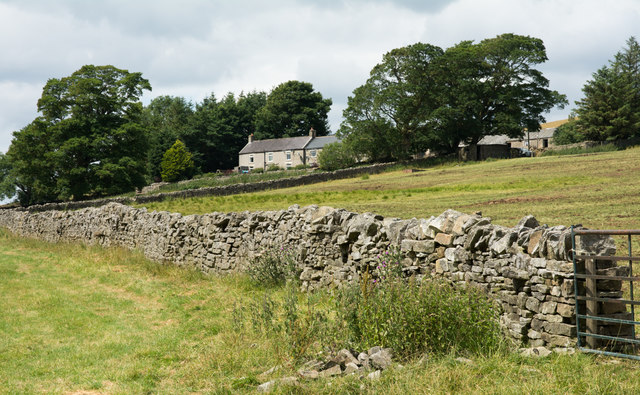
Image: © Trevor Littlewood Taken: 19 Jul 2018
Steward Shield Meadow is a farm on the southern side of Horseshoe Hill, its enclosed land is bounded on three sides by moorland and to the south by the Stanhope Burn. It will also have grazing land on the surrounding moorland.
Images are licensed for reuse under creativecommons.org/licenses/by-sa/2.0
Image Location
Latitude
54.789092
Longitude
-2.02796