Sheerwater Bridge, Basingstoke Canal
Introduction
The photograph on this page of Sheerwater Bridge, Basingstoke Canal by Dr Neil Clifton as part of the Geograph project.
The Geograph project started in 2005 with the aim of publishing, organising and preserving representative images for every square kilometre of Great Britain, Ireland and the Isle of Man.

There are currently over 7.5m images from over 14,400 individuals and you can help contribute to the project by visiting https://www.geograph.org.uk
Sheerwater Bridge, Basingstoke Canal
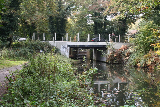
Image: © Dr Neil Clifton Taken: 14 Oct 2007
This bridge does not look very substantial, but it does carry the A245 (which just here is named Sheerwater Road) which connects Woking with West Byfleet. The bottom gates of Woodham Top Lock can be seen beyond the bridge. For a corresponding 1980 photograph, see Image
Images are licensed for reuse under creativecommons.org/licenses/by-sa/2.0
Image Location
Latitude
51.338705
Longitude
-0.517705