Boast Lane entrance
Introduction
The photograph on this page of Boast Lane entrance by Nigel Freeman as part of the Geograph project.
The Geograph project started in 2005 with the aim of publishing, organising and preserving representative images for every square kilometre of Great Britain, Ireland and the Isle of Man.

There are currently over 7.5m images from over 14,400 individuals and you can help contribute to the project by visiting https://www.geograph.org.uk
Boast Lane entrance
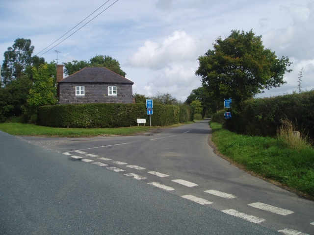
Image: © Nigel Freeman Taken: 27 Sep 2005
This lane leads into Anchor Lane which ends at the River Ouse. This is the route to take for The Anchor, a very popular place in the summer months.
Images are licensed for reuse under creativecommons.org/licenses/by-sa/2.0
Image Location


Leaflet Map data © OpenStreetMap
Latitude
50.928608
Longitude
0.023493