Masonry in the riverbed, Sowerby Bridge
Introduction
The photograph on this page of Masonry in the riverbed, Sowerby Bridge by Stephen Craven as part of the Geograph project.
The Geograph project started in 2005 with the aim of publishing, organising and preserving representative images for every square kilometre of Great Britain, Ireland and the Isle of Man.

There are currently over 7.5m images from over 14,400 individuals and you can help contribute to the project by visiting https://www.geograph.org.uk
Masonry in the riverbed, Sowerby Bridge
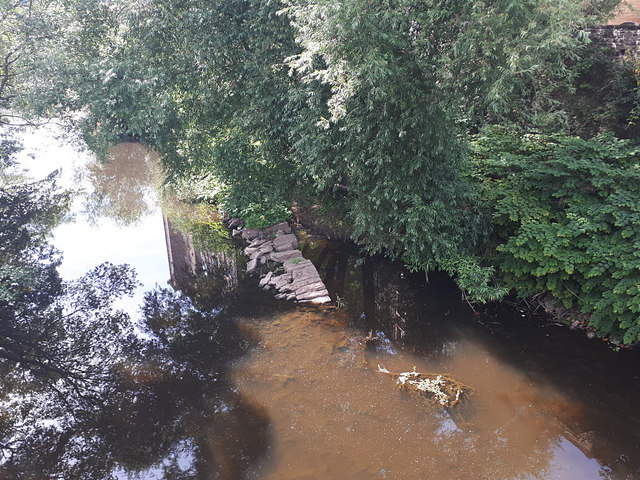
Image: © Stephen Craven Taken: 25 Jul 2018
Looking upstream from the footbridge over the Calder Image, there is a line of masonry just above the much reduced water level in a very dry summer. I think it is probably the remains of a wall separating the main river (left) from the tailrace (right) of the originally water-powered Greenup's Mill. Image shows a more normal river level.
Images are licensed for reuse under creativecommons.org/licenses/by-sa/2.0
Image Location
Latitude
53.70879
Longitude
-1.908459