Fore Street, Topsham
Introduction
The photograph on this page of Fore Street, Topsham by David Dixon as part of the Geograph project.
The Geograph project started in 2005 with the aim of publishing, organising and preserving representative images for every square kilometre of Great Britain, Ireland and the Isle of Man.

There are currently over 7.5m images from over 14,400 individuals and you can help contribute to the project by visiting https://www.geograph.org.uk
Fore Street, Topsham
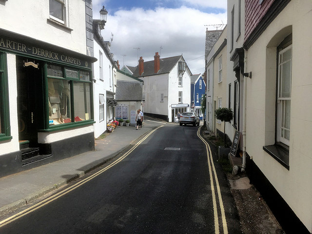
Image: © David Dixon Taken: 23 Jul 2018
Topsham was once a thriving cotton port and shipbuilding centre on the east side of the River Exe, between Exeter and Exmouth. Although it only the size of a large village, it was granted town status by Royal Charter in 1300. No longer a major (or even minor) seaport, the town now describes itself as a “quaint historic town has a cosmopolitan atmosphere” and is of interest to visitors for its architecture, scenery and proximity to nature reserves for wading and migrating birds, such as RSPB Bowling Green Marsh on the Exe Estuary, the whole of which is a Site of Special Scientific Interest (SSSI).
Images are licensed for reuse under creativecommons.org/licenses/by-sa/2.0
Image Location
Latitude
50.681721
Longitude
-3.464934