Hobb Lane, looking east
Introduction
The photograph on this page of Hobb Lane, looking east by Christine Johnstone as part of the Geograph project.
The Geograph project started in 2005 with the aim of publishing, organising and preserving representative images for every square kilometre of Great Britain, Ireland and the Isle of Man.

There are currently over 7.5m images from over 14,400 individuals and you can help contribute to the project by visiting https://www.geograph.org.uk
Hobb Lane, looking east
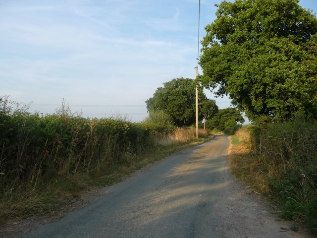
Image: © Christine Johnstone Taken: 25 Jul 2018
A civil parish boundary runs down the middle of this road. Uttoxeter Rural to the left / north, Abbots Bromley to the right / south.
Images are licensed for reuse under creativecommons.org/licenses/by-sa/2.0
Image Location
Latitude
52.859324
Longitude
-1.875348