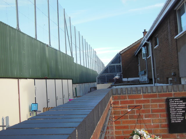
Clonard Martyrs Memorial Garden, Bombay St (showing the Peace Wall)
Introduction
The photograph on this page of Clonard Martyrs Memorial Garden, Bombay St (showing the Peace Wall) by Stuart Taylor as part of the Geograph project.
The Geograph project started in 2005 with the aim of publishing, organising and preserving representative images for every square kilometre of Great Britain, Ireland and the Isle of Man.
There are currently over 7.5m images from over 14,400 individuals and you can help contribute to the project by visiting https://www.geograph.org.uk

Image: © Stuart Taylor Taken: 23 Sep 2015
The structure to the left is one of the "Peace Walls" which were erected to separate loyalist and republican areas of the city and help minimise violence between the two communities. The number of these walls has increased since the Good Friday Agreement of 1998 and now stands at 59 with a total length of 21 miles. One of the houses in this image has additional protection in the event of objects being thrown over the peace wall.

