Stream west of River Caldew
Introduction
The photograph on this page of Stream west of River Caldew by Andrew Curtis as part of the Geograph project.
The Geograph project started in 2005 with the aim of publishing, organising and preserving representative images for every square kilometre of Great Britain, Ireland and the Isle of Man.

There are currently over 7.5m images from over 14,400 individuals and you can help contribute to the project by visiting https://www.geograph.org.uk
Stream west of River Caldew
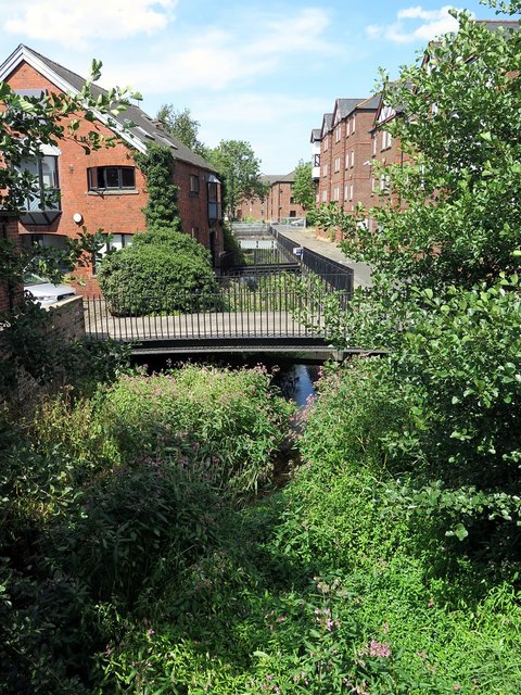
Image: © Andrew Curtis Taken: 27 Jul 2018
The Little Caldew or Millrace originated as an artificial water course from the River Caldew, designed to supply water to businesses such as Carlisle's former Cotton Mill.
Images are licensed for reuse under creativecommons.org/licenses/by-sa/2.0
Image Location
Latitude
54.895322
Longitude
-2.944994