Brampton Valley Way near Northampton
Introduction
The photograph on this page of Brampton Valley Way near Northampton by Malc McDonald as part of the Geograph project.
The Geograph project started in 2005 with the aim of publishing, organising and preserving representative images for every square kilometre of Great Britain, Ireland and the Isle of Man.

There are currently over 7.5m images from over 14,400 individuals and you can help contribute to the project by visiting https://www.geograph.org.uk
Brampton Valley Way near Northampton
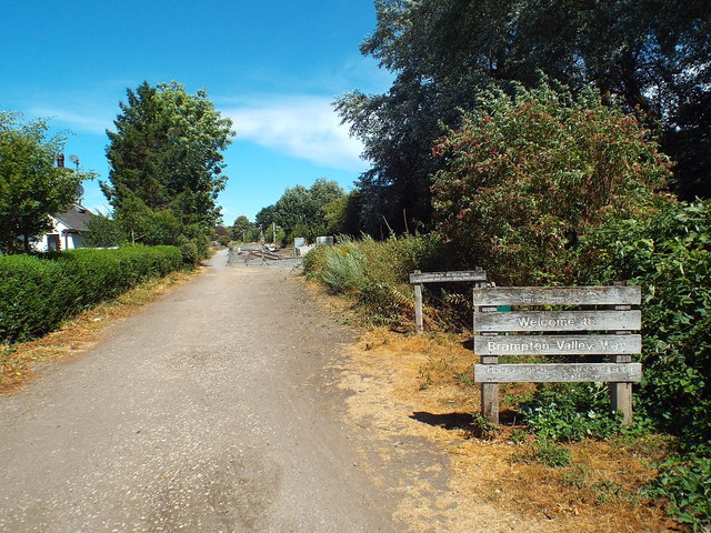
Image: © Malc McDonald Taken: 28 Jul 2018
A view north along the Brampton Valley Way. Just visible in the distance is some railway track and signals. These have been installed by the Northampton & Lamport Railway, a heritage railway which runs along a short stretch of track, sharing the route with the Brampton Valley Way which runs alongside.
Images are licensed for reuse under creativecommons.org/licenses/by-sa/2.0
Image Location
Latitude
52.280649
Longitude
-0.921701