View of Greenfield Farm
Introduction
The photograph on this page of View of Greenfield Farm by Robert Graham as part of the Geograph project.
The Geograph project started in 2005 with the aim of publishing, organising and preserving representative images for every square kilometre of Great Britain, Ireland and the Isle of Man.

There are currently over 7.5m images from over 14,400 individuals and you can help contribute to the project by visiting https://www.geograph.org.uk
View of Greenfield Farm
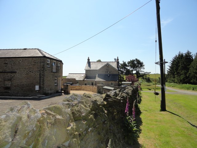
Image: © Robert Graham Taken: 27 Jun 2018
This farm stands beside a minor about 2km west of the A68. The former barn on the left has been recently converted to residential use.
Images are licensed for reuse under creativecommons.org/licenses/by-sa/2.0
Image Location
Latitude
54.798661
Longitude
-1.889843