Bedale Road level crossing
Introduction
The photograph on this page of Bedale Road level crossing by Stephen Craven as part of the Geograph project.
The Geograph project started in 2005 with the aim of publishing, organising and preserving representative images for every square kilometre of Great Britain, Ireland and the Isle of Man.

There are currently over 7.5m images from over 14,400 individuals and you can help contribute to the project by visiting https://www.geograph.org.uk
Bedale Road level crossing
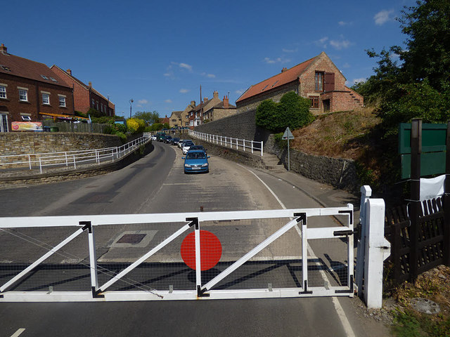
Image: © Stephen Craven Taken: 14 Jul 2018
The railway effectively separates the village of Aiskew (this side) from the town of Bedale the other side. Traffic levels will have reduced considerably since the Bedale bypass opened in August 2016; before that, this was the A684.
Images are licensed for reuse under creativecommons.org/licenses/by-sa/2.0
Image Location
Latitude
54.289894
Longitude
-1.588414