Glebeland Road, Northampton
Introduction
The photograph on this page of Glebeland Road, Northampton by Malc McDonald as part of the Geograph project.
The Geograph project started in 2005 with the aim of publishing, organising and preserving representative images for every square kilometre of Great Britain, Ireland and the Isle of Man.

There are currently over 7.5m images from over 14,400 individuals and you can help contribute to the project by visiting https://www.geograph.org.uk
Glebeland Road, Northampton
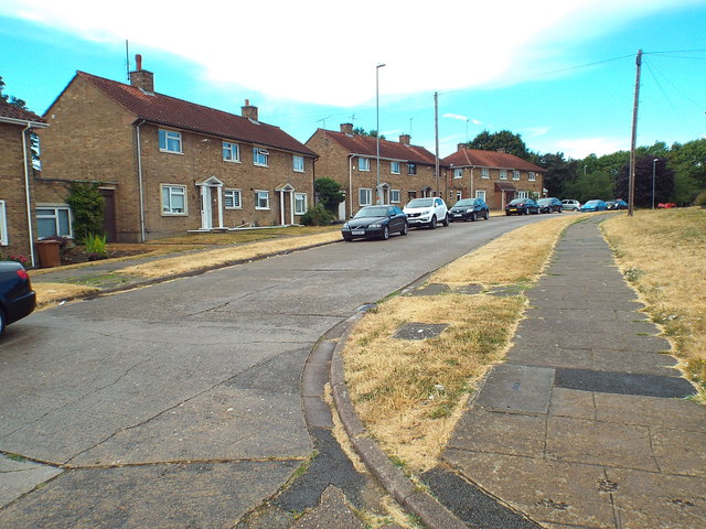
Image: © Malc McDonald Taken: 28 Jul 2018
Glebeland Road in the northern suburbs of Northampton. This road forms part of National Cycle Network route 6, as it threads its way through Northampton using quiet roads.
Images are licensed for reuse under creativecommons.org/licenses/by-sa/2.0
Image Location
Latitude
52.251591
Longitude
-0.919769