Bridleway and cycle path off Whitehouse Lane
Introduction
The photograph on this page of Bridleway and cycle path off Whitehouse Lane by Oliver Dixon as part of the Geograph project.
The Geograph project started in 2005 with the aim of publishing, organising and preserving representative images for every square kilometre of Great Britain, Ireland and the Isle of Man.

There are currently over 7.5m images from over 14,400 individuals and you can help contribute to the project by visiting https://www.geograph.org.uk
Bridleway and cycle path off Whitehouse Lane
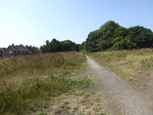
Image: © Oliver Dixon Taken: 26 Jul 2018
The houses of the Black Hill estate to the left.
Images are licensed for reuse under creativecommons.org/licenses/by-sa/2.0
Image Location
Latitude
54.933531
Longitude
-1.563144