Bricknell Avenue Houses
Introduction
The photograph on this page of Bricknell Avenue Houses by Peter Church as part of the Geograph project.
The Geograph project started in 2005 with the aim of publishing, organising and preserving representative images for every square kilometre of Great Britain, Ireland and the Isle of Man.

There are currently over 7.5m images from over 14,400 individuals and you can help contribute to the project by visiting https://www.geograph.org.uk
Bricknell Avenue Houses
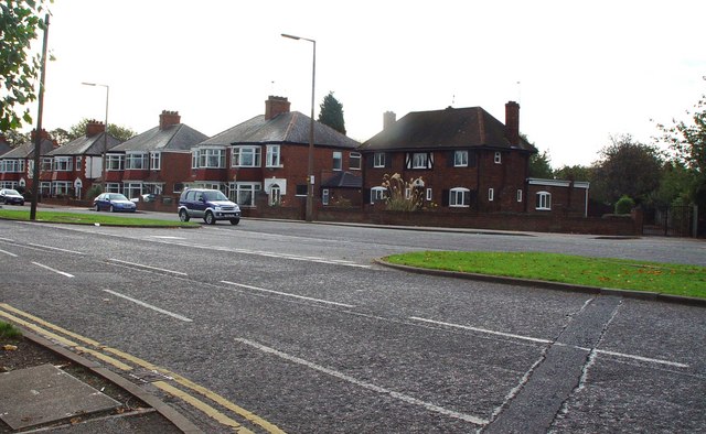
Image: © Peter Church Taken: 16 Oct 2007
The corner semi (centre right on the photograph) is smaller, more modern and off the building line. So this plot might well be a re-build after the war, Hull having suffered extensive bombing.
Images are licensed for reuse under creativecommons.org/licenses/by-sa/2.0
Image Location
Latitude
53.762691
Longitude
-0.381058