Shoeburyness : War memorial
Introduction
The photograph on this page of Shoeburyness : War memorial by Jim Osley as part of the Geograph project.
The Geograph project started in 2005 with the aim of publishing, organising and preserving representative images for every square kilometre of Great Britain, Ireland and the Isle of Man.

There are currently over 7.5m images from over 14,400 individuals and you can help contribute to the project by visiting https://www.geograph.org.uk
Shoeburyness : War memorial
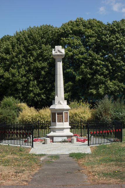
Image: © Jim Osley Taken: 28 Jul 2018
Details at this https://www.warmemorialsonline.org.uk/memorial/101311 and https://www.iwm.org.uk/memorials/item/memorial/22796. "The War Memorial was unveiled on 26th. May 1921 and was sited at the junction of Ness Road and Campfield Road. It was later moved to its present position alongside the Ambulance Station in Campfield Road." - quote from this http://www.daphnejohnson.co.uk/Shoeburyness/WarMemorial/warmemorial.htm.
Images are licensed for reuse under creativecommons.org/licenses/by-sa/2.0
Image Location
Latitude
51.529879
Longitude
0.786828