Trumlands Road
Introduction
The photograph on this page of Trumlands Road by David Dixon as part of the Geograph project.
The Geograph project started in 2005 with the aim of publishing, organising and preserving representative images for every square kilometre of Great Britain, Ireland and the Isle of Man.

There are currently over 7.5m images from over 14,400 individuals and you can help contribute to the project by visiting https://www.geograph.org.uk
Trumlands Road
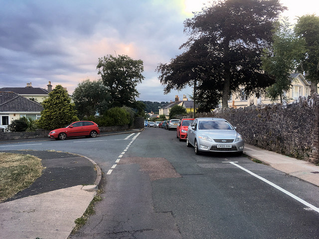
Image: © David Dixon Taken: 21 Jul 2018
St Marychurch is one of the oldest settlements in South Devon. Its earliest documentary record dates from around 1050 AD. Its name derives from the church of St Mary, which was founded in Anglo-Saxon times.
Images are licensed for reuse under creativecommons.org/licenses/by-sa/2.0
Image Location
Latitude
50.484866
Longitude
-3.526921