Dry Ford Near London Colney
Introduction
The photograph on this page of Dry Ford Near London Colney by Glyn Baker as part of the Geograph project.
The Geograph project started in 2005 with the aim of publishing, organising and preserving representative images for every square kilometre of Great Britain, Ireland and the Isle of Man.

There are currently over 7.5m images from over 14,400 individuals and you can help contribute to the project by visiting https://www.geograph.org.uk
Dry Ford Near London Colney
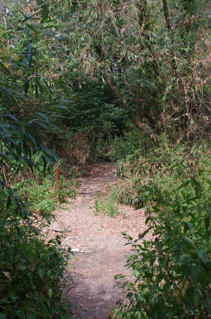
Image: © Glyn Baker Taken: 25 Jul 2018
A nearby finger-post indicates this is a footpath to the High Street via a ford. The River Colne would normally be flowing from right to left.
Images are licensed for reuse under creativecommons.org/licenses/by-sa/2.0
Image Location
Latitude
51.71826
Longitude
-0.292376