Access control on the Angel Cycleway
Introduction
The photograph on this page of Access control on the Angel Cycleway by Oliver Dixon as part of the Geograph project.
The Geograph project started in 2005 with the aim of publishing, organising and preserving representative images for every square kilometre of Great Britain, Ireland and the Isle of Man.

There are currently over 7.5m images from over 14,400 individuals and you can help contribute to the project by visiting https://www.geograph.org.uk
Access control on the Angel Cycleway
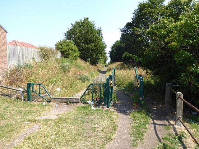
Image: © Oliver Dixon Taken: 26 Jul 2018
The Angel Cycleway which follows the line of a disused railway continues to the east of the Old Durham Road. Being a bridleway, a horse stile is incorporated into the access control.
Images are licensed for reuse under creativecommons.org/licenses/by-sa/2.0
Image Location
Latitude
54.929085
Longitude
-1.576612