Manor Farmhouse
Introduction
The photograph on this page of Manor Farmhouse by Richard Law as part of the Geograph project.
The Geograph project started in 2005 with the aim of publishing, organising and preserving representative images for every square kilometre of Great Britain, Ireland and the Isle of Man.

There are currently over 7.5m images from over 14,400 individuals and you can help contribute to the project by visiting https://www.geograph.org.uk
Manor Farmhouse
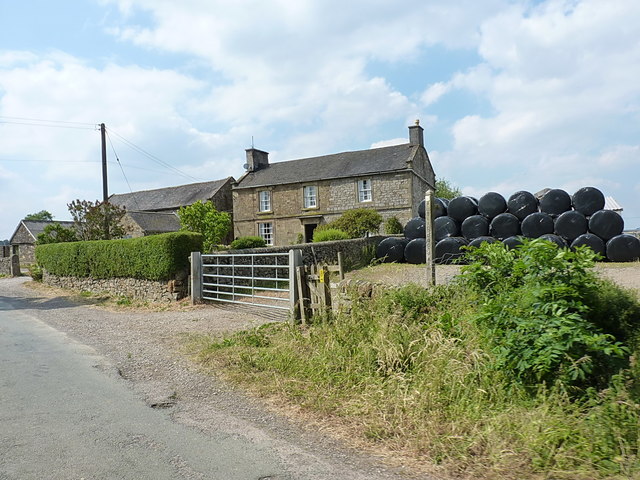
Image: © Richard Law Taken: 6 Jul 2018
A large farmhouse just outside Hayesgate, complete with a pile of silage bales ready for winter feed.
Images are licensed for reuse under creativecommons.org/licenses/by-sa/2.0
Image Location
Latitude
53.135355
Longitude
-1.852132