South Approach, Moor Park
Introduction
The photograph on this page of South Approach, Moor Park by Marathon as part of the Geograph project.
The Geograph project started in 2005 with the aim of publishing, organising and preserving representative images for every square kilometre of Great Britain, Ireland and the Isle of Man.

There are currently over 7.5m images from over 14,400 individuals and you can help contribute to the project by visiting https://www.geograph.org.uk
South Approach, Moor Park
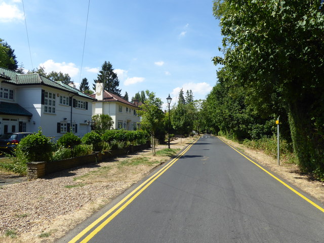
Image: © Marathon Taken: 25 Jul 2018
The Moor Park Estate is around six square miles in size, with gated, private roads. It extends from Ruislip Woods through to Northwood, and finishes at Merchant Taylors' School. It was featured in John Betjeman's famed programme 'Metroland'. South Approach appears to be part of the Estate in that like the other roads Google Streetview has not been down here, but there are no gates on this part. In this view, the woodland on the right shields the houses from the Metropolitan line - a linking footpath for the London LOOP from Moor Park station passes through the woodland.
Images are licensed for reuse under creativecommons.org/licenses/by-sa/2.0
Image Location
Latitude
51.625231
Longitude
-0.430518