Llwybr ger Abercerdin / Footpath near Abercerdin
Introduction
The photograph on this page of Llwybr ger Abercerdin / Footpath near Abercerdin by Alan Richards as part of the Geograph project.
The Geograph project started in 2005 with the aim of publishing, organising and preserving representative images for every square kilometre of Great Britain, Ireland and the Isle of Man.

There are currently over 7.5m images from over 14,400 individuals and you can help contribute to the project by visiting https://www.geograph.org.uk
Llwybr ger Abercerdin / Footpath near Abercerdin
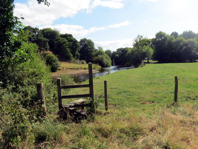
Image: © Alan Richards Taken: 25 Jul 2018
Llwybr cyhoeddus ar lan Afon Teifi yn mynd i gyfeiriad Abercerdin. A public footpath on the banks of the Teifi River heading in the direction of Abercerdin (Trans. confluence of mountain ash trees [river]).
Images are licensed for reuse under creativecommons.org/licenses/by-sa/2.0
Image Location
Latitude
52.05018
Longitude
-4.302229