Grazing field at Gattonside Heights
Introduction
The photograph on this page of Grazing field at Gattonside Heights by Walter Baxter as part of the Geograph project.
The Geograph project started in 2005 with the aim of publishing, organising and preserving representative images for every square kilometre of Great Britain, Ireland and the Isle of Man.

There are currently over 7.5m images from over 14,400 individuals and you can help contribute to the project by visiting https://www.geograph.org.uk
Grazing field at Gattonside Heights
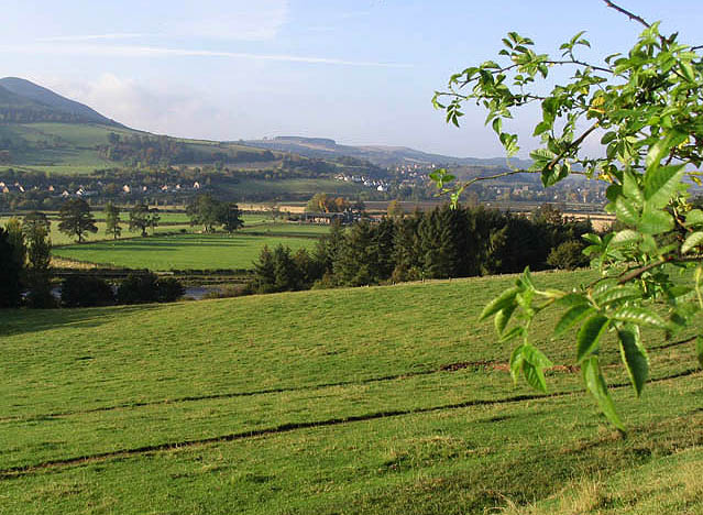
Image: © Walter Baxter Taken: 14 Oct 2007
The flat ground beyond the trees is at Gattonsidehaugh with Millmount Farm in the centre. The village of Newstead is on the left with Melrose on the right in the background.
Images are licensed for reuse under creativecommons.org/licenses/by-sa/2.0
Image Location


Leaflet Map data © OpenStreetMap
Latitude
55.605385
Longitude
-2.69359