Woodland walk, Manscombe Plantation
Introduction
The photograph on this page of Woodland walk, Manscombe Plantation by Derek Harper as part of the Geograph project.
The Geograph project started in 2005 with the aim of publishing, organising and preserving representative images for every square kilometre of Great Britain, Ireland and the Isle of Man.

There are currently over 7.5m images from over 14,400 individuals and you can help contribute to the project by visiting https://www.geograph.org.uk
Woodland walk, Manscombe Plantation
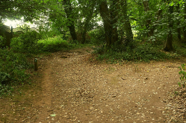
Image: © Derek Harper Taken: 20 Jul 2018
The walk follows footpath TQ141 as it runs behind houses on Broadley Drive. On the left is a waymark like the one shown in Image
Images are licensed for reuse under creativecommons.org/licenses/by-sa/2.0
Image Location
Latitude
50.459162
Longitude
-3.559483