Garndiffaith Community Noticeboard
Introduction
The photograph on this page of Garndiffaith Community Noticeboard by Jaggery as part of the Geograph project.
The Geograph project started in 2005 with the aim of publishing, organising and preserving representative images for every square kilometre of Great Britain, Ireland and the Isle of Man.

There are currently over 7.5m images from over 14,400 individuals and you can help contribute to the project by visiting https://www.geograph.org.uk
Garndiffaith Community Noticeboard
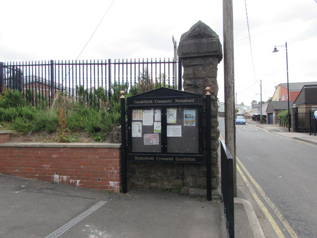
Image: © Jaggery Taken: 16 Jul 2018
Alongside Stanley Road at the SW corner of the Garndiffaith Community Centre site. https://www.geograph.org.uk/photo/5852891
Images are licensed for reuse under creativecommons.org/licenses/by-sa/2.0
Image Location
Latitude
51.736058
Longitude
-3.068092