Next Development
Introduction
The photograph on this page of Next Development by Bill Nicholls as part of the Geograph project.
The Geograph project started in 2005 with the aim of publishing, organising and preserving representative images for every square kilometre of Great Britain, Ireland and the Isle of Man.

There are currently over 7.5m images from over 14,400 individuals and you can help contribute to the project by visiting https://www.geograph.org.uk
Next Development
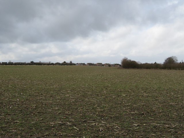
Image: © Bill Nicholls Taken: 4 Mar 2018
This field is most likely the next part of Cholsey to be developed for housing because just to the right of the houses in the distance a new development is going to happen soon
Images are licensed for reuse under creativecommons.org/licenses/by-sa/2.0
Image Location
Latitude
51.576499
Longitude
-1.144948