Tottenham Lock and Heron House, 2011
Introduction
The photograph on this page of Tottenham Lock and Heron House, 2011 by Robin Webster as part of the Geograph project.
The Geograph project started in 2005 with the aim of publishing, organising and preserving representative images for every square kilometre of Great Britain, Ireland and the Isle of Man.

There are currently over 7.5m images from over 14,400 individuals and you can help contribute to the project by visiting https://www.geograph.org.uk
Tottenham Lock and Heron House, 2011
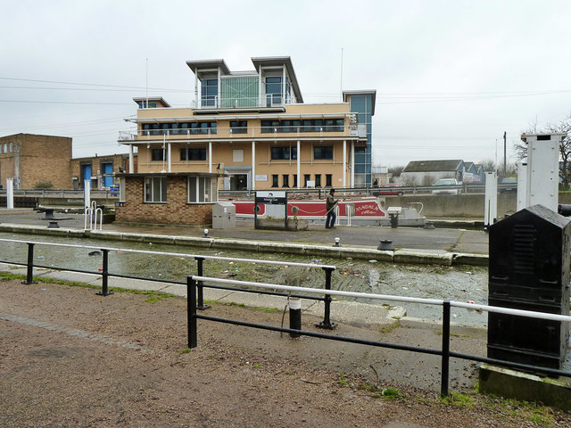
Image: © Robin Webster Taken: 22 Jan 2011
Looking across the twinned locks on the Lee Navigation at one of the buildings on a generally industrial site called Hale Wharf. Heron House and the buildings to the left have now been demolished.
Images are licensed for reuse under creativecommons.org/licenses/by-sa/2.0
Image Location
Latitude
51.588064
Longitude
-0.056042