The B3274
Introduction
The photograph on this page of The B3274 by Neville Goodman as part of the Geograph project.
The Geograph project started in 2005 with the aim of publishing, organising and preserving representative images for every square kilometre of Great Britain, Ireland and the Isle of Man.

There are currently over 7.5m images from over 14,400 individuals and you can help contribute to the project by visiting https://www.geograph.org.uk
The B3274
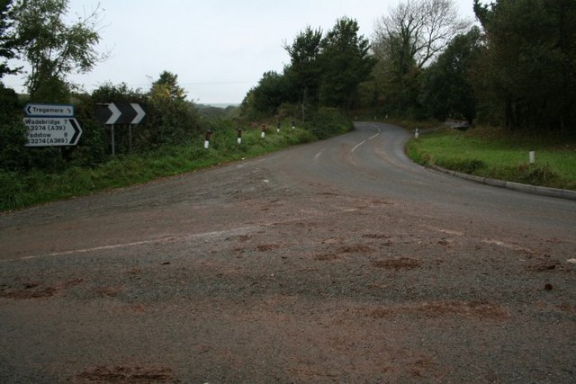
Image: © Neville Goodman Taken: 14 Oct 2007
The road signposted to Wadebridge and Padstow is the B3274, which meets the main A39 at Winnard's Perch: is that the name of the roundabout? Or did the name exist before the roundabout was built?
Images are licensed for reuse under creativecommons.org/licenses/by-sa/2.0
Image Location
Latitude
50.44709
Longitude
-4.916144