Lenworth House, King Street
Introduction
The photograph on this page of Lenworth House, King Street by John Baker as part of the Geograph project.
The Geograph project started in 2005 with the aim of publishing, organising and preserving representative images for every square kilometre of Great Britain, Ireland and the Isle of Man.

There are currently over 7.5m images from over 14,400 individuals and you can help contribute to the project by visiting https://www.geograph.org.uk
Lenworth House, King Street
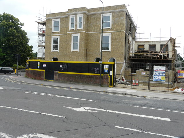
Image: © John Baker Taken: 17 Jun 2018
Planning permission was granted by Maidstone Borough Council under application number 15/502885/FULL for the “conversion of existing Lenworth House into 8 flats and new block of 6 flats together with undercroft parking”. This image of Image was taken in November 2016.
Images are licensed for reuse under creativecommons.org/licenses/by-sa/2.0
Image Location
Latitude
51.273017
Longitude
0.529219