Aston Botterell
Introduction
The photograph on this page of Aston Botterell by Richard Webb as part of the Geograph project.
The Geograph project started in 2005 with the aim of publishing, organising and preserving representative images for every square kilometre of Great Britain, Ireland and the Isle of Man.

There are currently over 7.5m images from over 14,400 individuals and you can help contribute to the project by visiting https://www.geograph.org.uk
Aston Botterell
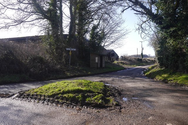
Image: © Richard Webb Taken: 15 Feb 2018
The junction in the middle of what is probably one of the near abandoned villages on the Clees and Bromyard uplands. Often you will find a parish name, church and scattered houses in this area, but no village.
Images are licensed for reuse under creativecommons.org/licenses/by-sa/2.0
Image Location
Latitude
52.454685
Longitude
-2.542966