Marten Close,Hampton Magna, Budbrooke
Introduction
The photograph on this page of Marten Close,Hampton Magna, Budbrooke by Des Blenkinsopp as part of the Geograph project.
The Geograph project started in 2005 with the aim of publishing, organising and preserving representative images for every square kilometre of Great Britain, Ireland and the Isle of Man.

There are currently over 7.5m images from over 14,400 individuals and you can help contribute to the project by visiting https://www.geograph.org.uk
Marten Close,Hampton Magna, Budbrooke
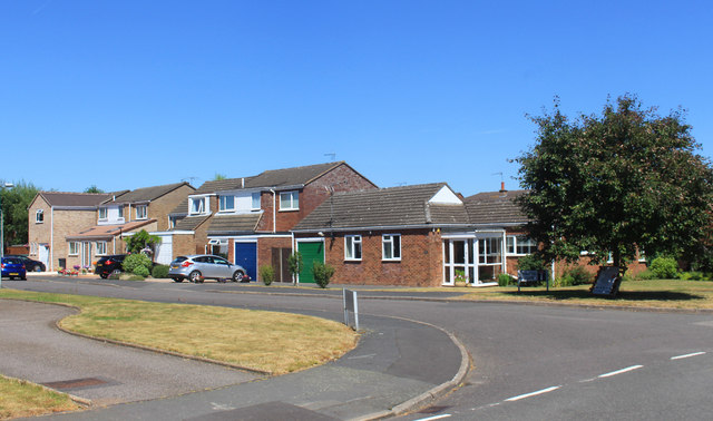
Image: © Des Blenkinsopp Taken: 27 Jun 2018
A suburban style village on the western side of Warwick. Handy for the new Warwick Parkway station. This is a village that's reinvented itself in the 20th century, with the village name in olde script up by the isolated parish church a short way north but only a couple of farms and houses nearby. Budbrooke was an ancient village decimated by the Black Death in the 14th century and remained home to only a few people until the 1960s when a new housing development called Hampton Magna was built on former military land. https://en.wikipedia.org/wiki/Budbrooke
Images are licensed for reuse under creativecommons.org/licenses/by-sa/2.0
Image Location
Latitude
52.282701
Longitude
-1.616925