Track to Westertown
Introduction
The photograph on this page of Track to Westertown by Alan O'Dowd as part of the Geograph project.
The Geograph project started in 2005 with the aim of publishing, organising and preserving representative images for every square kilometre of Great Britain, Ireland and the Isle of Man.

There are currently over 7.5m images from over 14,400 individuals and you can help contribute to the project by visiting https://www.geograph.org.uk
Track to Westertown
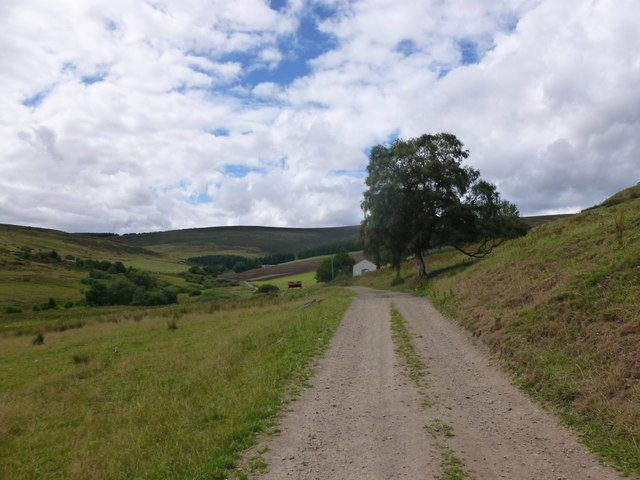
Image: © Alan O'Dowd Taken: 17 Jul 2018
A track which can be used to access the Tomintoul spur of the Speyside Way on Carn Daimh.
Images are licensed for reuse under creativecommons.org/licenses/by-sa/2.0
Image Location
Latitude
57.317833
Longitude
-3.3256