Hare Wood
Introduction
The photograph on this page of Hare Wood by John Lemay as part of the Geograph project.
The Geograph project started in 2005 with the aim of publishing, organising and preserving representative images for every square kilometre of Great Britain, Ireland and the Isle of Man.

There are currently over 7.5m images from over 14,400 individuals and you can help contribute to the project by visiting https://www.geograph.org.uk
Hare Wood
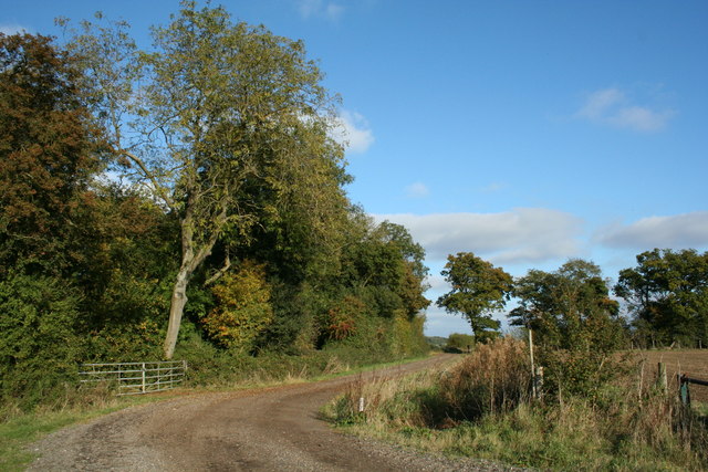
Image: © John Lemay Taken: 13 Oct 2007
The southern fringe of Hare Wood, photographed from the nearby footpath and farm track. The map clearly indicates that this was a Roman Road, which heads generally towards Haverhill, a few miles to the east.
Images are licensed for reuse under creativecommons.org/licenses/by-sa/2.0
Image Location


Leaflet Map data © OpenStreetMap
Latitude
52.102851
Longitude
0.367532