The Dalry Moor Road
Introduction
The photograph on this page of The Dalry Moor Road by Thomas Nugent as part of the Geograph project.
The Geograph project started in 2005 with the aim of publishing, organising and preserving representative images for every square kilometre of Great Britain, Ireland and the Isle of Man.

There are currently over 7.5m images from over 14,400 individuals and you can help contribute to the project by visiting https://www.geograph.org.uk
The Dalry Moor Road
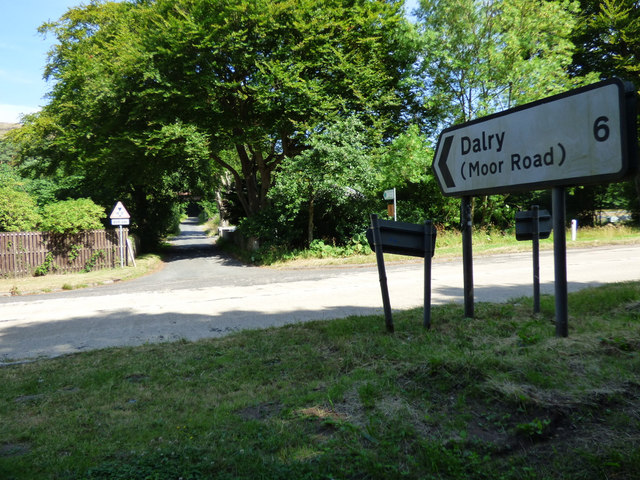
Image: © Thomas Nugent Taken: 14 Jul 2018
Formally known as Fairlie Moor Road, but known by local cyclists as the Dalry Moor Road. Not for the faint-hearted cyclist. The A78 Irvine Road is in the foreground, taken from the Ayrshire Coastal Path.
Images are licensed for reuse under creativecommons.org/licenses/by-sa/2.0
Image Location
Latitude
55.737013
Longitude
-4.861259