Hargill, Carperby
Introduction
The photograph on this page of Hargill, Carperby by Mick Garratt as part of the Geograph project.
The Geograph project started in 2005 with the aim of publishing, organising and preserving representative images for every square kilometre of Great Britain, Ireland and the Isle of Man.

There are currently over 7.5m images from over 14,400 individuals and you can help contribute to the project by visiting https://www.geograph.org.uk
Hargill, Carperby
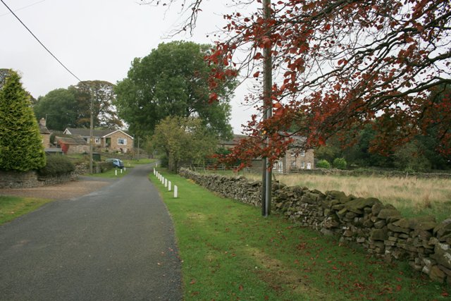
Image: © Mick Garratt Taken: 13 Oct 2007
Lower end of a lane leading to Peatmore Lane. The house on the left would be just about on the northing.
Images are licensed for reuse under creativecommons.org/licenses/by-sa/2.0
Image Location


Leaflet Map data © OpenStreetMap
Latitude
54.305154
Longitude
-1.987364