Kent House, Romney Place
Introduction
The photograph on this page of Kent House, Romney Place by John Baker as part of the Geograph project.
The Geograph project started in 2005 with the aim of publishing, organising and preserving representative images for every square kilometre of Great Britain, Ireland and the Isle of Man.

There are currently over 7.5m images from over 14,400 individuals and you can help contribute to the project by visiting https://www.geograph.org.uk
Kent House, Romney Place
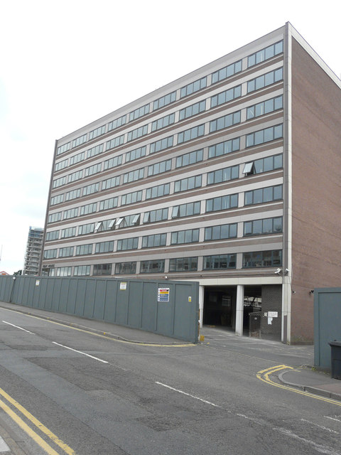
Image: © John Baker Taken: 17 Jun 2018
Planning permission was granted by Maidstone Borough Council under application number 17/504186/FULL for an “extension to existing building to provide an additional floor for 8 new residential apartments together with associated parking, plus the introduction of an ancillary gym facility on the ground floor for use only of the occupants to residential apartments”.
Images are licensed for reuse under creativecommons.org/licenses/by-sa/2.0
Image Location
Latitude
51.271542
Longitude
0.5267