5, Tonbridge Road
Introduction
The photograph on this page of 5, Tonbridge Road by John Baker as part of the Geograph project.
The Geograph project started in 2005 with the aim of publishing, organising and preserving representative images for every square kilometre of Great Britain, Ireland and the Isle of Man.

There are currently over 7.5m images from over 14,400 individuals and you can help contribute to the project by visiting https://www.geograph.org.uk
5, Tonbridge Road
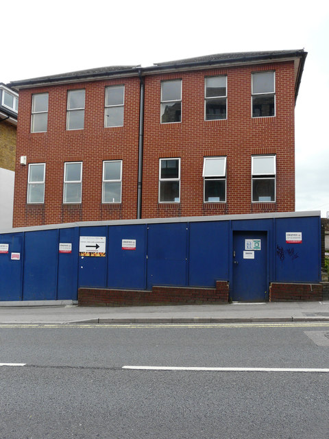
Image: © John Baker Taken: 17 Jun 2018
Planning permission was granted by Maidstone Borough Council under application number 15/510179/OUT for an “outline application (all matters reserved) for redevelopment with up to 65 dwellings and associated vehicular and pedestrian access, car and cycle parking, street and external lighting, main services, bin stores and other ancillary development”. The building can also be seen beyond the traffic lights in the image of Image
Images are licensed for reuse under creativecommons.org/licenses/by-sa/2.0
Image Location
Latitude
51.270729
Longitude
0.514326