Hand Terrace, Chirk
Introduction
The photograph on this page of Hand Terrace, Chirk by Eirian Evans as part of the Geograph project.
The Geograph project started in 2005 with the aim of publishing, organising and preserving representative images for every square kilometre of Great Britain, Ireland and the Isle of Man.

There are currently over 7.5m images from over 14,400 individuals and you can help contribute to the project by visiting https://www.geograph.org.uk
Hand Terrace, Chirk
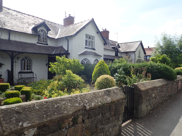
Image: © Eirian Evans Taken: 19 Jul 2018
The terrace of estate workers cottages was built by the Chirk Castle Estate in c1820-1825 for Charlotte Myddleton-Biddulph. It fronts the Holyhead Road, immediately north of the Hand Hotel.
Images are licensed for reuse under creativecommons.org/licenses/by-sa/2.0
Image Location
Latitude
52.932984
Longitude
-3.056863