Up the elevated pavement on the west side of Stow Hill, Newport
Introduction
The photograph on this page of Up the elevated pavement on the west side of Stow Hill, Newport by Jaggery as part of the Geograph project.
The Geograph project started in 2005 with the aim of publishing, organising and preserving representative images for every square kilometre of Great Britain, Ireland and the Isle of Man.

There are currently over 7.5m images from over 14,400 individuals and you can help contribute to the project by visiting https://www.geograph.org.uk
Up the elevated pavement on the west side of Stow Hill, Newport
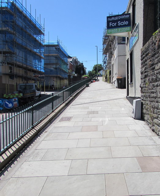
Image: © Jaggery Taken: 22 Jun 2018
The elevated pavement extends along the west side of Stow Hill from its northern end to St Woolos Cathedral. On the left, scaffolding encases houses at the edge of Victoria Place in late June 2018.
Images are licensed for reuse under creativecommons.org/licenses/by-sa/2.0
Image Location
Latitude
51.584274
Longitude
-2.997269