Row of houses, Lasgarn View, Varteg
Introduction
The photograph on this page of Row of houses, Lasgarn View, Varteg by Jaggery as part of the Geograph project.
The Geograph project started in 2005 with the aim of publishing, organising and preserving representative images for every square kilometre of Great Britain, Ireland and the Isle of Man.

There are currently over 7.5m images from over 14,400 individuals and you can help contribute to the project by visiting https://www.geograph.org.uk
Row of houses, Lasgarn View, Varteg
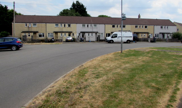
Image: © Jaggery Taken: 16 Jul 2018
The row extends for 50 metres at the northern end of Lasgarn View. Viewed from the corner of Samson's Avenue.
Images are licensed for reuse under creativecommons.org/licenses/by-sa/2.0
Image Location
Latitude
51.742564
Longitude
-3.064624