Roath Mill Gardens
Introduction
The photograph on this page of Roath Mill Gardens by Derek Harper as part of the Geograph project.
The Geograph project started in 2005 with the aim of publishing, organising and preserving representative images for every square kilometre of Great Britain, Ireland and the Isle of Man.

There are currently over 7.5m images from over 14,400 individuals and you can help contribute to the project by visiting https://www.geograph.org.uk
Roath Mill Gardens
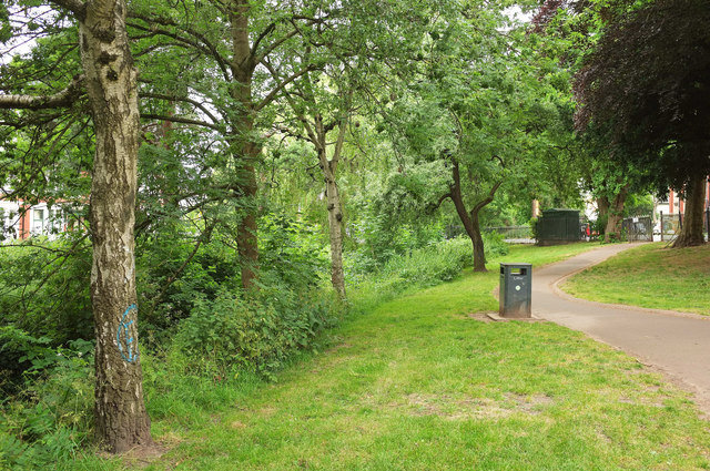
Image: © Derek Harper Taken: 16 Jun 2018
With Roath Brook to the left - see Image "The park is laid out to grass and informally planted trees, the most prominent of which are oak, beech, cedar and plane. Other trees include willow, maple, cherry and hawthorn. Gravel paths run around the perimeter and across the middle" http://orapweb.rcahms.gov.uk/coflein//C/CPG217.pdf . The paths are now tarmacked.
Images are licensed for reuse under creativecommons.org/licenses/by-sa/2.0
Image Location
Latitude
51.495474
Longitude
-3.159406