The River Ember east of Island Barn Reservoir (2)
Introduction
The photograph on this page of The River Ember east of Island Barn Reservoir (2) by Mike Quinn as part of the Geograph project.
The Geograph project started in 2005 with the aim of publishing, organising and preserving representative images for every square kilometre of Great Britain, Ireland and the Isle of Man.

There are currently over 7.5m images from over 14,400 individuals and you can help contribute to the project by visiting https://www.geograph.org.uk
The River Ember east of Island Barn Reservoir (2)
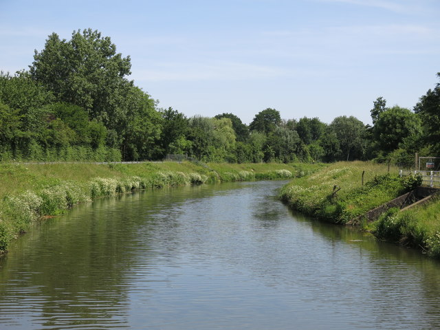
Image: © Mike Quinn Taken: 6 Jun 2018
This section of the river is an artificial channel built in the early 1980s - see https://en.wikipedia.org/wiki/River_Ember and Image (photographed by Michael Parry). Shows the location of Image (right).
Images are licensed for reuse under creativecommons.org/licenses/by-sa/2.0
Image Location


Leaflet Map data © OpenStreetMap
Latitude
51.395172
Longitude
-0.355607