Carrickfergus, town wall
Introduction
The photograph on this page of Carrickfergus, town wall by Mike Faherty as part of the Geograph project.
The Geograph project started in 2005 with the aim of publishing, organising and preserving representative images for every square kilometre of Great Britain, Ireland and the Isle of Man.

There are currently over 7.5m images from over 14,400 individuals and you can help contribute to the project by visiting https://www.geograph.org.uk
Carrickfergus, town wall
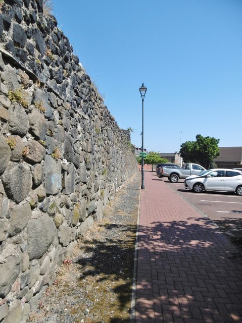
Image: © Mike Faherty Taken: 2 Jul 2018
A fragment surviving on Lancasterian Street. The town walls were built 1608-15, making Carrickfergus is the oldest walled town in Ulster. https://www.midandeastantrim.gov.uk/tourism/things-to-do/history-heritage/carrickfergus-town-walls
Images are licensed for reuse under creativecommons.org/licenses/by-sa/2.0
Image Location
Latitude
54.715426
Longitude
-5.809832