17-21 Main Street, Long Whatton
Introduction
The photograph on this page of 17-21 Main Street, Long Whatton by Alan Murray-Rust as part of the Geograph project.
The Geograph project started in 2005 with the aim of publishing, organising and preserving representative images for every square kilometre of Great Britain, Ireland and the Isle of Man.

There are currently over 7.5m images from over 14,400 individuals and you can help contribute to the project by visiting https://www.geograph.org.uk
17-21 Main Street, Long Whatton
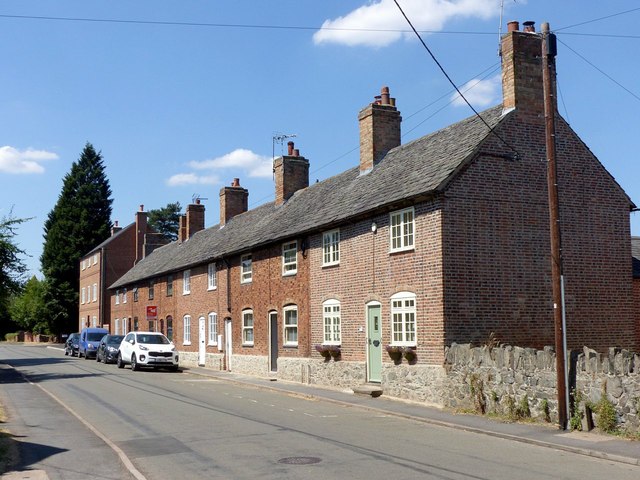
Image: © Alan Murray-Rust Taken: 15 Jul 2018
A row of cottages, known locally as Malt Row, possibly built as estate cottages for Whatton House. A feature is the use of dark vitreous headers in the brickwork, http://www.geograph.org.uk/photo/5847950 , to produce a random chequer pattern.
Images are licensed for reuse under creativecommons.org/licenses/by-sa/2.0
Image Location
Latitude
52.807662
Longitude
-1.29279