Former garage site, Hartnup Street
Introduction
The photograph on this page of Former garage site, Hartnup Street by John Baker as part of the Geograph project.
The Geograph project started in 2005 with the aim of publishing, organising and preserving representative images for every square kilometre of Great Britain, Ireland and the Isle of Man.

There are currently over 7.5m images from over 14,400 individuals and you can help contribute to the project by visiting https://www.geograph.org.uk
Former garage site, Hartnup Street
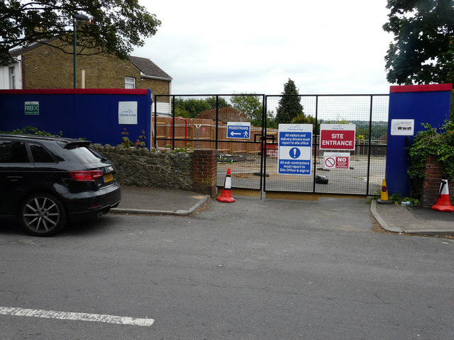
Image: © John Baker Taken: 17 Jun 2018
Planning permission has been granted by Maidstone Borough Council under application number 17/502642/FULL for the “demolition of existing garages and erection of 2 two bed semi-detached dwellings with private rear gardens, parking and cycle storage and erection of 7 garages”.
Images are licensed for reuse under creativecommons.org/licenses/by-sa/2.0
Image Location
Latitude
51.267789
Longitude
0.496244