Off-shoot of the River Ember at the western end of Orchard Lane (2)
Introduction
The photograph on this page of Off-shoot of the River Ember at the western end of Orchard Lane (2) by Mike Quinn as part of the Geograph project.
The Geograph project started in 2005 with the aim of publishing, organising and preserving representative images for every square kilometre of Great Britain, Ireland and the Isle of Man.

There are currently over 7.5m images from over 14,400 individuals and you can help contribute to the project by visiting https://www.geograph.org.uk
Off-shoot of the River Ember at the western end of Orchard Lane (2)
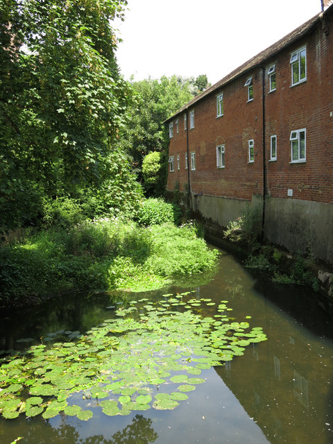
Image: © Mike Quinn Taken: 6 Jun 2018
Looking downstream. This is the site of Ember Mill (demolished in 1837) https://en.wikipedia.org/wiki/River_Ember .
Images are licensed for reuse under creativecommons.org/licenses/by-sa/2.0
Image Location
Latitude
51.393447
Longitude
-0.354375