Cullompton: Colebrooke Lane
Introduction
The photograph on this page of Cullompton: Colebrooke Lane by Martin Bodman as part of the Geograph project.
The Geograph project started in 2005 with the aim of publishing, organising and preserving representative images for every square kilometre of Great Britain, Ireland and the Isle of Man.

There are currently over 7.5m images from over 14,400 individuals and you can help contribute to the project by visiting https://www.geograph.org.uk
Cullompton: Colebrooke Lane
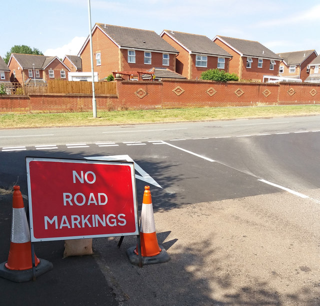
Image: © Martin Bodman Taken: 13 Jul 2018
Following the re-surfacing of sections of Colebrooke Lane on the 18th of May this year, specialists came early in July to add the road markings. But removing the signage, which was added some time after the surfacing work, was left for others to undertake
Images are licensed for reuse under creativecommons.org/licenses/by-sa/2.0
Image Location
Latitude
50.850863
Longitude
-3.400617