East along Samson's Avenue, Varteg
Introduction
The photograph on this page of East along Samson's Avenue, Varteg by Jaggery as part of the Geograph project.
The Geograph project started in 2005 with the aim of publishing, organising and preserving representative images for every square kilometre of Great Britain, Ireland and the Isle of Man.

There are currently over 7.5m images from over 14,400 individuals and you can help contribute to the project by visiting https://www.geograph.org.uk
East along Samson's Avenue, Varteg
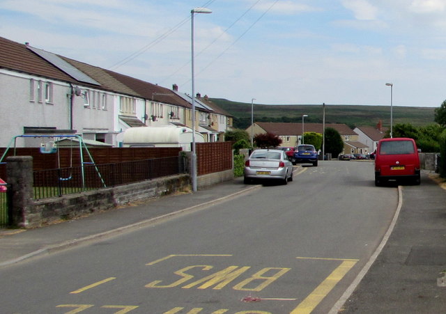
Image: © Jaggery Taken: 16 Jul 2018
Towards Garndiffaith. It was not clear to this visitor to the area exactly where Varteg ends and Garndiffaith begins. Boundary signs https://www.geograph.org.uk/photo/4678607 show the names of both villages.
Images are licensed for reuse under creativecommons.org/licenses/by-sa/2.0
Image Location
Latitude
51.743267
Longitude
-3.066379