Former shipyard
Introduction
The photograph on this page of Former shipyard by John M as part of the Geograph project.
The Geograph project started in 2005 with the aim of publishing, organising and preserving representative images for every square kilometre of Great Britain, Ireland and the Isle of Man.

There are currently over 7.5m images from over 14,400 individuals and you can help contribute to the project by visiting https://www.geograph.org.uk
Former shipyard
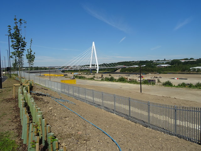
Image: © John M Taken: 15 Jul 2018
The new 'Northern Spire' bridge will provide access to the north bank of the River Wear.
Images are licensed for reuse under creativecommons.org/licenses/by-sa/2.0
Image Location
Latitude
54.914953
Longitude
-1.418582