Corner of Selly Park Road and Selly Wick Road
Introduction
The photograph on this page of Corner of Selly Park Road and Selly Wick Road by Paul Collins as part of the Geograph project.
The Geograph project started in 2005 with the aim of publishing, organising and preserving representative images for every square kilometre of Great Britain, Ireland and the Isle of Man.

There are currently over 7.5m images from over 14,400 individuals and you can help contribute to the project by visiting https://www.geograph.org.uk
Corner of Selly Park Road and Selly Wick Road
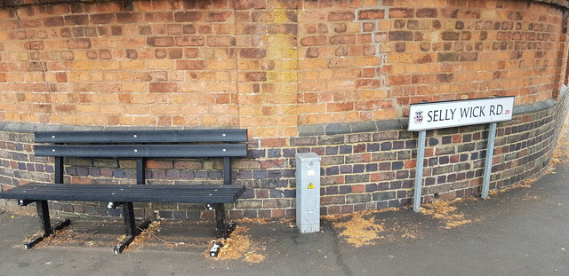
Image: © Paul Collins Taken: 17 Jul 2018
Between the bench and lighting control box is an Ordnance Survey cut bench mark. It is shown on the 1917 1/2500 map with a height of 461.9 feet.
Images are licensed for reuse under creativecommons.org/licenses/by-sa/2.0
Image Location
Latitude
52.443141
Longitude
-1.922572